
Cross Country Flights
| Thema | Beschreibung | |
|---|---|---|
| Ride with a Flying Cowboy | Tim Martin pilotiert uns über Utahs Canyons | 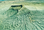 |
| Fly with the Eagle | Der grosse Rundflug über den Süden Utahs - ca. 600 km mit der Fliegerlegende Tim Martin. | 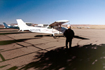 |
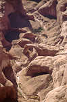
| Fly with the Eagle: Moab - Halls Crossing |
Vom Canyonlands Airfield entlang des Colorado Rivers: Determination Towers, White Rim, The Loop, Confluence, Castle Butte, Tapestry Wall, Forgotten Canyon |
 |
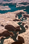
| Fly with the Eagle: Lake Powell South Shore |
Von Halls Crossing zur Coyote Butte: Colorado River Rincon, Navajo Mountain, Hole in the Rock, Rainbow Bridge, Page, Horseshoe Bend, Vermilion Cliffs, Coyote Butte |
 |
| Fly with the Eagle: Lake Powell North Shore |
Entlang des Lake Powells und des Escalante Rivers bis nach Hite: Alstrom Point, Navajo Point, Twilight Canyon, Escalante River, Stevens Arch, Waterpocket Fold |
 |
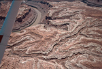
| Fly with the Eagle: Hite - Moab |
Über Dirty Devil River und Hatch Canyon zurück nach Moab: Dirty Devil River, Hatch Canyon, Gunsight Butte, Colorado/Green River Confluence, Horsethief Canyon, Dead Horse Point |
 |
| Fly with the Eagle: weitere Photos - auch in grossen Formaten | Digitale Aufnahmen des Fluges , die zunächst als technisch unbrauchbar galten. |  |
| Thema | Beschreibung | |
|---|---|---|
| Moab | Themen aus Moab und Umgebung | |
| Hanksville | Themen aus Hanksville und Umgebung | |
| Utah Südost | Themen aus der San Juan County | |
| Escalante | Lake Powell und das Grand Staircase Escalante N.M. | |
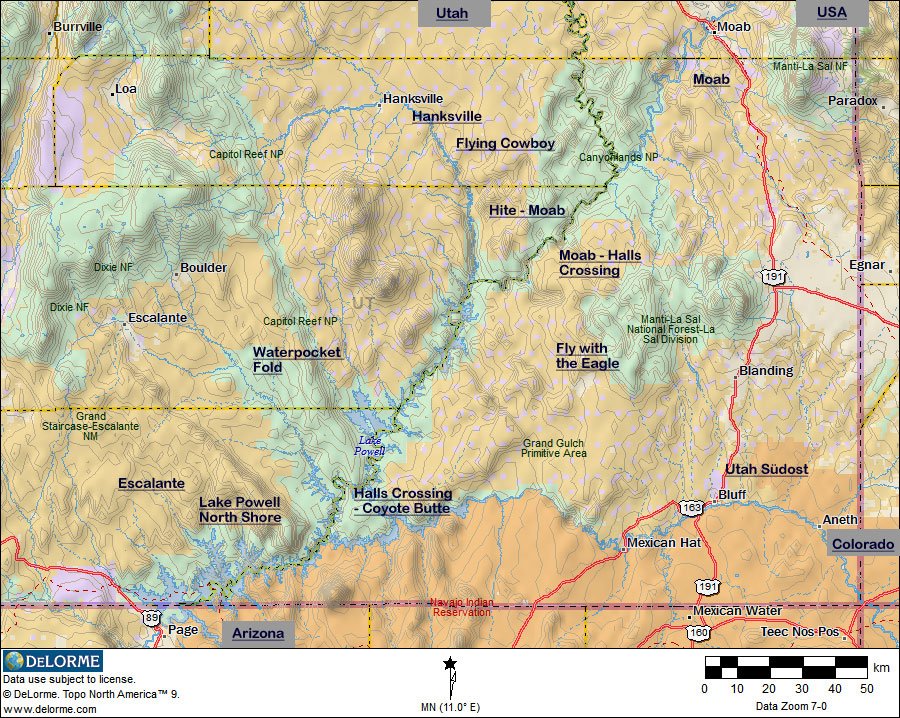
| Waterpocket Fold | Rechts und links der Waterpocket Fold |
| Thema | Beschreibung | |
|---|---|---|
| Utah | Themenliste | |
| Arizona | Themenliste | |
| Colorado | Themenliste |